S01E01 Xinjiang
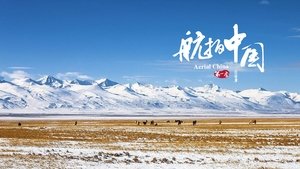
Xinjiang is the largest province in China with a land area. There are Kunlun Mountains in the south, Altai Mountains in the north and Tianshan in the middle. Between the three mountains, the two largest...
Hainan, located at the southernmost tip of the Chinese territory, carries a number of islands in the South China Sea, covering a vast area equivalent to 1/4 of China's land area. The southern Nansha Islands define China's southernmost borders, and the northern Qiongzhou Strait separates Hainan Island from the mainland.
The large-scale aerial documentary "Aerial China", produced by CCTV and contracted by CCTV Records International Media Co., Ltd., is a documentary film that overlooks China from an aerial perspective and comprehensively and stereoscopically displays History of China's historical and cultural landscape, natural and geographical features, and economic and social development and changes. The series consists of 34 episodes, each lasting 50 minutes, covering 23 provinces, 5 autonomous regions, 4 municipalities, and 2 special administrative regions across the country.
This film will be entirely completed through aerial photography, with each episode selecting the most representative and ornamental historical, cultural, natural, and modern landscapes from various provinces and cities. Using aerial flight routes as clues, it will showcase a beautiful China, ecological China, and civilized China that the audience is familiar with and full of freshness through storytelling.